The end of Holeburn Road
Introduction
The photograph on this page of The end of Holeburn Road by Richard Sutcliffe as part of the Geograph project.
The Geograph project started in 2005 with the aim of publishing, organising and preserving representative images for every square kilometre of Great Britain, Ireland and the Isle of Man.

There are currently over 7.5m images from over 14,400 individuals and you can help contribute to the project by visiting https://www.geograph.org.uk
The end of Holeburn Road
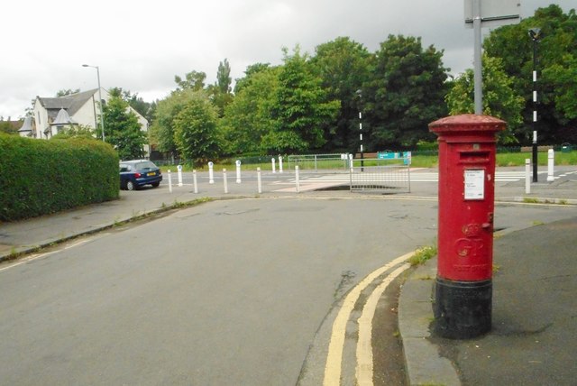
Image: © Richard Sutcliffe Taken: 7 Jul 2017
Looking west towards Auldhouse Road. Holeburn Road ends as a culdesac here, and is separated from the main road by bollards. The pillar box [http://www.geograph.org.uk/photo/5453700] is postbox number G43 900.
Images are licensed for reuse under creativecommons.org/licenses/by-sa/2.0
Image Location
Latitude
55.818672
Longitude
-4.298428