Busker, Chester underpass
Introduction
The photograph on this page of Busker, Chester underpass by Matt Harrop as part of the Geograph project.
The Geograph project started in 2005 with the aim of publishing, organising and preserving representative images for every square kilometre of Great Britain, Ireland and the Isle of Man.

There are currently over 7.5m images from over 14,400 individuals and you can help contribute to the project by visiting https://www.geograph.org.uk
Busker, Chester underpass
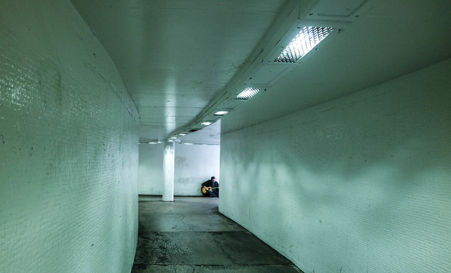
Image: © Matt Harrop Taken: 5 Jul 2017
The subway that leads from Foregate St toward the rail station.
Images are licensed for reuse under creativecommons.org/licenses/by-sa/2.0
Image Location
Latitude
53.192405
Longitude
-2.882125