Blacklees Farm roundabout
Introduction
The photograph on this page of Blacklees Farm roundabout by Richard Law as part of the Geograph project.
The Geograph project started in 2005 with the aim of publishing, organising and preserving representative images for every square kilometre of Great Britain, Ireland and the Isle of Man.

There are currently over 7.5m images from over 14,400 individuals and you can help contribute to the project by visiting https://www.geograph.org.uk
Blacklees Farm roundabout
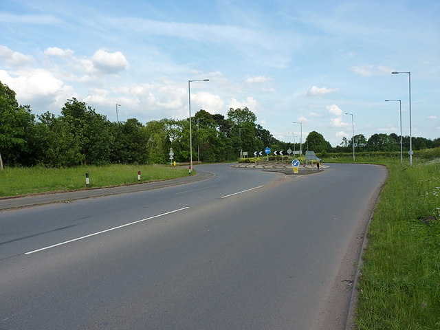
Image: © Richard Law Taken: 14 Jun 2017
Fairly recently built, this replaces a former 'Give Way' junction of the Wolverhampton Road with the Warstone Road.
Images are licensed for reuse under creativecommons.org/licenses/by-sa/2.0
Image Location
Latitude
52.653247
Longitude
-2.053321