Fairfield Farmhouse
Introduction
The photograph on this page of Fairfield Farmhouse by Michael Dibb as part of the Geograph project.
The Geograph project started in 2005 with the aim of publishing, organising and preserving representative images for every square kilometre of Great Britain, Ireland and the Isle of Man.

There are currently over 7.5m images from over 14,400 individuals and you can help contribute to the project by visiting https://www.geograph.org.uk
Fairfield Farmhouse
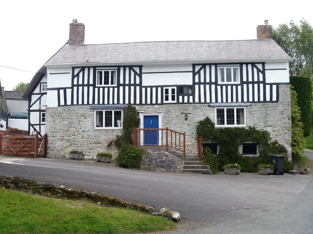
Image: © Michael Dibb Taken: 16 Jun 2017
This fine 16th/17th century farmhouse was increased from one storey plus attic to two full storeys in the 17th/18th century. Listed, grade II, with details at: https://www.historicengland.org.uk/listing/the-list/list-entry/1035823
Images are licensed for reuse under creativecommons.org/licenses/by-sa/2.0
Image Location
Latitude
51.292957
Longitude
-1.96926