The Crookedstone Road, Killead (July 2017)
Introduction
The photograph on this page of The Crookedstone Road, Killead (July 2017) by Albert Bridge as part of the Geograph project.
The Geograph project started in 2005 with the aim of publishing, organising and preserving representative images for every square kilometre of Great Britain, Ireland and the Isle of Man.

There are currently over 7.5m images from over 14,400 individuals and you can help contribute to the project by visiting https://www.geograph.org.uk
The Crookedstone Road, Killead (July 2017)
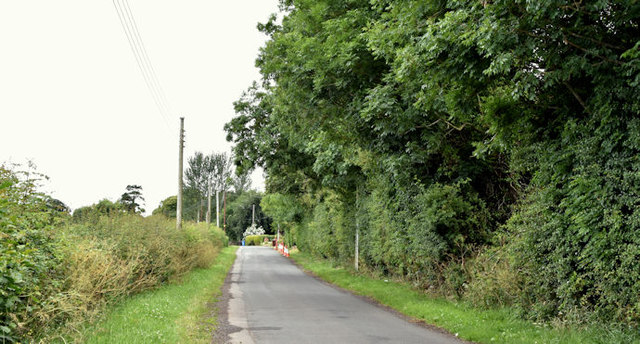
Image: © Albert Bridge Taken: 5 Jul 2017
For background information see Image Now a minor road, in a loop off the Airport Road, between the airport terminal Image and Ballyrobin roundabout Image, this was previously part of a secondary road from the airport towards Muckamore, across the Seven Mile Straight http://www.geograph.org.uk/snippet/14786. The Google map uses the spelling “Crooked Stone”.
Images are licensed for reuse under creativecommons.org/licenses/by-sa/2.0
Image Location
Latitude
54.668076
Longitude
-6.196814