Towards the northeast end of The Cutting, Llanfoist
Introduction
The photograph on this page of Towards the northeast end of The Cutting, Llanfoist by Jaggery as part of the Geograph project.
The Geograph project started in 2005 with the aim of publishing, organising and preserving representative images for every square kilometre of Great Britain, Ireland and the Isle of Man.

There are currently over 7.5m images from over 14,400 individuals and you can help contribute to the project by visiting https://www.geograph.org.uk
Towards the northeast end of The Cutting, Llanfoist
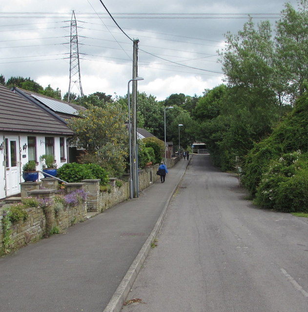
Image: © Jaggery Taken: 11 Jun 2017
Following part of the route of a dismantled railway, The Cutting approaches the underpass http://www.geograph.org.uk/photo/5451456 below the A465 Heads of the Valleys Road. In the background is one of many electricity pylons in this area.
Images are licensed for reuse under creativecommons.org/licenses/by-sa/2.0
Image Location


Leaflet Map data © OpenStreetMap
Latitude
51.815599
Longitude
-3.031528