Donegall Rise, Whitehaven
Introduction
The photograph on this page of Donegall Rise, Whitehaven by Eric Jones as part of the Geograph project.
The Geograph project started in 2005 with the aim of publishing, organising and preserving representative images for every square kilometre of Great Britain, Ireland and the Isle of Man.

There are currently over 7.5m images from over 14,400 individuals and you can help contribute to the project by visiting https://www.geograph.org.uk
Donegall Rise, Whitehaven
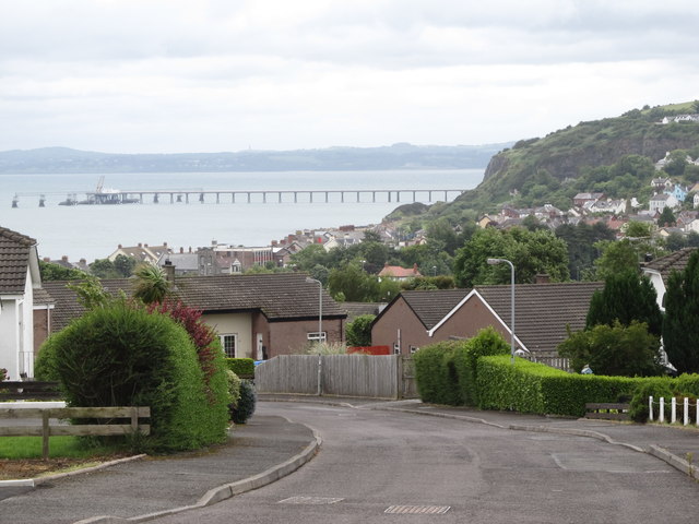
Image: © Eric Jones Taken: 30 Jun 2017
The Cloughan oil jetty feeding Kilroot Power Station features prominently in the background. The headland on the right is White Head.
Images are licensed for reuse under creativecommons.org/licenses/by-sa/2.0
Image Location
Latitude
54.760445
Longitude
-5.707961