The junction of Edward Road and King's Road, Whitehead
Introduction
The photograph on this page of The junction of Edward Road and King's Road, Whitehead by Eric Jones as part of the Geograph project.
The Geograph project started in 2005 with the aim of publishing, organising and preserving representative images for every square kilometre of Great Britain, Ireland and the Isle of Man.

There are currently over 7.5m images from over 14,400 individuals and you can help contribute to the project by visiting https://www.geograph.org.uk
The junction of Edward Road and King's Road, Whitehead
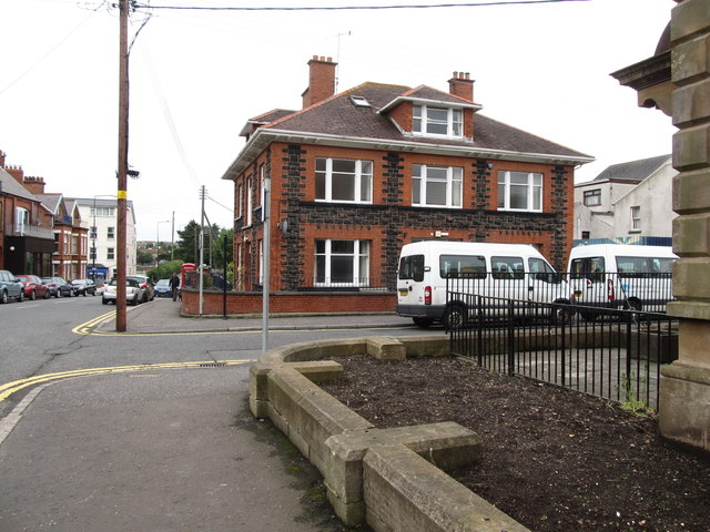
Image: © Eric Jones Taken: 30 Jun 2017
The large house is Whitehaven which has been converted for the use of the Health and Social Services.
Images are licensed for reuse under creativecommons.org/licenses/by-sa/2.0
Image Location
Latitude
54.753688
Longitude
-5.71176