Barn at Hookshouse
Introduction
The photograph on this page of Barn at Hookshouse by Alan Murray-Rust as part of the Geograph project.
The Geograph project started in 2005 with the aim of publishing, organising and preserving representative images for every square kilometre of Great Britain, Ireland and the Isle of Man.

There are currently over 7.5m images from over 14,400 individuals and you can help contribute to the project by visiting https://www.geograph.org.uk
Barn at Hookshouse
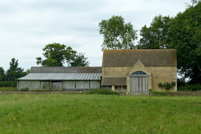
Image: © Alan Murray-Rust Taken: 27 Jun 2017
Described as converted in 2007 http://www.geograph.org.uk/photo/319259 , it certainly doesn't appear to be permanently occupied.
Images are licensed for reuse under creativecommons.org/licenses/by-sa/2.0
Image Location
Latitude
51.627541
Longitude
-2.202203