The northern approach to Whitehead Railway Station
Introduction
The photograph on this page of The northern approach to Whitehead Railway Station by Eric Jones as part of the Geograph project.
The Geograph project started in 2005 with the aim of publishing, organising and preserving representative images for every square kilometre of Great Britain, Ireland and the Isle of Man.

There are currently over 7.5m images from over 14,400 individuals and you can help contribute to the project by visiting https://www.geograph.org.uk
The northern approach to Whitehead Railway Station
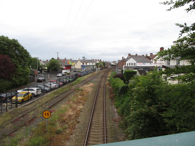
Image: © Eric Jones Taken: 30 Jun 2017
The image taken from the King's Road bridge shows, on the right, a single track. The Belfast line only doubles beyond the Kilroot power station although there is a passing loop at Whitehead Station. On the left is a spur line leading to the Railway Preservation Society of Ireland's museum.
Images are licensed for reuse under creativecommons.org/licenses/by-sa/2.0
Image Location
Latitude
54.754287
Longitude
-5.710173