Islesburgh Community Centre
Introduction
The photograph on this page of Islesburgh Community Centre by Ian S as part of the Geograph project.
The Geograph project started in 2005 with the aim of publishing, organising and preserving representative images for every square kilometre of Great Britain, Ireland and the Isle of Man.

There are currently over 7.5m images from over 14,400 individuals and you can help contribute to the project by visiting https://www.geograph.org.uk
Islesburgh Community Centre
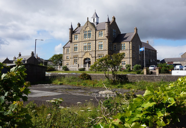
Image: © Ian S Taken: 26 Jun 2017
The former Central Public School on King Harald Street, Lerwick
Images are licensed for reuse under creativecommons.org/licenses/by-sa/2.0
Image Location
Latitude
60.152641
Longitude
-1.148977