School Lane, South Ferriby, Lincolnshire
Introduction
The photograph on this page of School Lane, South Ferriby, Lincolnshire by Bernard Sharp as part of the Geograph project.
The Geograph project started in 2005 with the aim of publishing, organising and preserving representative images for every square kilometre of Great Britain, Ireland and the Isle of Man.

There are currently over 7.5m images from over 14,400 individuals and you can help contribute to the project by visiting https://www.geograph.org.uk
School Lane, South Ferriby, Lincolnshire
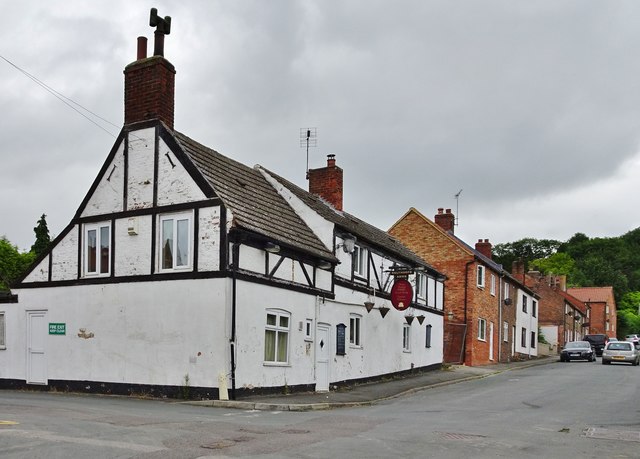
Image: © Bernard Sharp Taken: 30 Jun 2017
At the junction with Low Street, the Nelthorpe Arms, extant by 1842, closed circa 2016. The public house is named after the family of same name, which held the lease of the building in the 19th century.
Images are licensed for reuse under creativecommons.org/licenses/by-sa/2.0
Image Location


Leaflet Map data © OpenStreetMap
Latitude
53.674809
Longitude
-0.507359