Farrishes Lane, South Ferriby, Lincolnshire
Introduction
The photograph on this page of Farrishes Lane, South Ferriby, Lincolnshire by Bernard Sharp as part of the Geograph project.
The Geograph project started in 2005 with the aim of publishing, organising and preserving representative images for every square kilometre of Great Britain, Ireland and the Isle of Man.

There are currently over 7.5m images from over 14,400 individuals and you can help contribute to the project by visiting https://www.geograph.org.uk
Farrishes Lane, South Ferriby, Lincolnshire
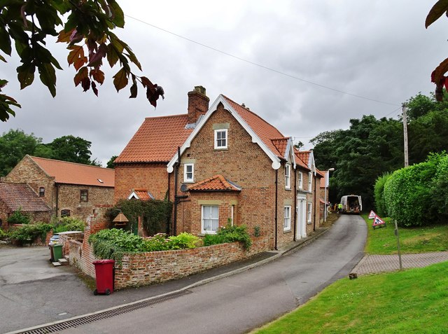
Image: © Bernard Sharp Taken: 30 Jun 2017
Woodside Farmhouse, circa 1700 with later additions and alterations. Grade II Listed Building https://www.historicengland.org.uk/listing/the-list/list-entry/1103705
Images are licensed for reuse under creativecommons.org/licenses/by-sa/2.0
Image Location
Latitude
53.678107
Longitude
-0.505123