Farrishes Lane, South Ferriby, Lincolnshire
Introduction
The photograph on this page of Farrishes Lane, South Ferriby, Lincolnshire by Bernard Sharp as part of the Geograph project.
The Geograph project started in 2005 with the aim of publishing, organising and preserving representative images for every square kilometre of Great Britain, Ireland and the Isle of Man.

There are currently over 7.5m images from over 14,400 individuals and you can help contribute to the project by visiting https://www.geograph.org.uk
Farrishes Lane, South Ferriby, Lincolnshire
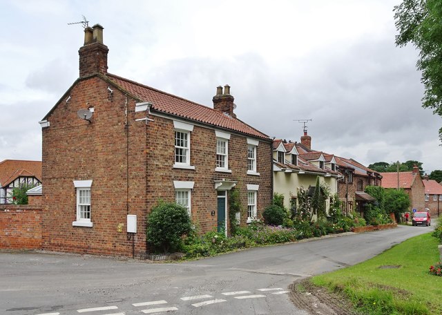
Image: © Bernard Sharp Taken: 30 Jun 2017
At the junction with The Rise, dwellings on the west side of Farrishes lane, including, from left, Holly House (of the former Holly House Farm) and Oxslip Cottage.
Images are licensed for reuse under creativecommons.org/licenses/by-sa/2.0
Image Location
Latitude
53.67722
Longitude
-0.506063