Footbridge over Biggar Burn, Biggar
Introduction
The photograph on this page of Footbridge over Biggar Burn, Biggar by G Laird as part of the Geograph project.
The Geograph project started in 2005 with the aim of publishing, organising and preserving representative images for every square kilometre of Great Britain, Ireland and the Isle of Man.

There are currently over 7.5m images from over 14,400 individuals and you can help contribute to the project by visiting https://www.geograph.org.uk
Footbridge over Biggar Burn, Biggar
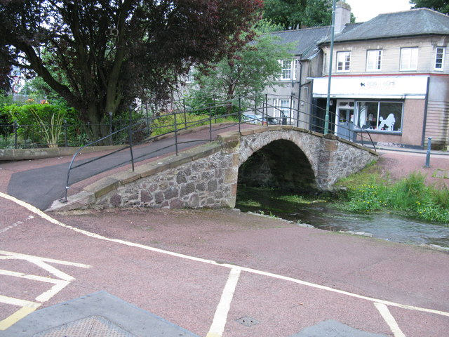
Image: © G Laird Taken: 1 Jul 2017
Beside the main road (A702) through Biggar at the point where High Street becomes Coulter Road,
Images are licensed for reuse under creativecommons.org/licenses/by-sa/2.0
Image Location
Latitude
55.622447
Longitude
-3.528073