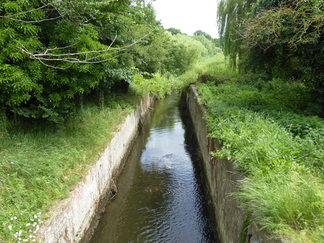
Derelict lock, West Stow
Introduction
The photograph on this page of Derelict lock, West Stow by Robin Webster as part of the Geograph project.
The Geograph project started in 2005 with the aim of publishing, organising and preserving representative images for every square kilometre of Great Britain, Ireland and the Isle of Man.
There are currently over 7.5m images from over 14,400 individuals and you can help contribute to the project by visiting https://www.geograph.org.uk

Image: © Robin Webster Taken: 1 Jul 2017
Stow Lock of the River Lark, number 8 counting from Bury St Edmunds, which was once the head of navigation. The river as a navigation had a great many ups and downs over the years, very largely downs. It was last restored to complete navigation in 1894, and promptly fell into disuse apart from a short lower section. This was because the navigation company went bust and, well into the railway age, nobody wanted to use it. This view is looking upstream. The locks were 88 ft long and of a width to fit a fen lighter, around 10'-6" wide. The length was to allow two 42 ft long lighters to lock at once, a gang of two being the usual arrangement.

