Road junction, Ballybracken, Ballynure/Larne (July 2017)
Introduction
The photograph on this page of Road junction, Ballybracken, Ballynure/Larne (July 2017) by Albert Bridge as part of the Geograph project.
The Geograph project started in 2005 with the aim of publishing, organising and preserving representative images for every square kilometre of Great Britain, Ireland and the Isle of Man.

There are currently over 7.5m images from over 14,400 individuals and you can help contribute to the project by visiting https://www.geograph.org.uk
Road junction, Ballybracken, Ballynure/Larne (July 2017)
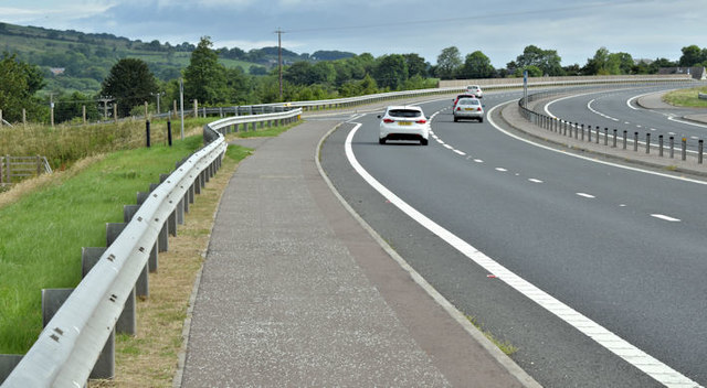
Image: © Albert Bridge Taken: 2 Jul 2017
The view towards Ballynure and Belfast, along the rebuilt Larne Road, approaching the minor Ballybracken Road. Image (September 2007) shows the junction in single-carriageway days.
Images are licensed for reuse under creativecommons.org/licenses/by-sa/2.0
Image Location
Latitude
54.787956
Longitude
-5.939154