Fields Near Pomeroy
Introduction
The photograph on this page of Fields Near Pomeroy by Nigel Mykura as part of the Geograph project.
The Geograph project started in 2005 with the aim of publishing, organising and preserving representative images for every square kilometre of Great Britain, Ireland and the Isle of Man.

There are currently over 7.5m images from over 14,400 individuals and you can help contribute to the project by visiting https://www.geograph.org.uk
Fields Near Pomeroy
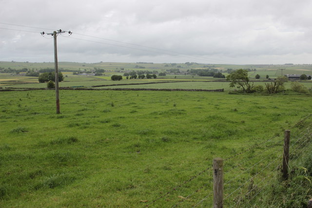
Image: © Nigel Mykura Taken: 10 Jun 2017
These fields are alongside Stonebench lane, a minor road running up on to Flagg Moor from the A515 at Pomeroy
Images are licensed for reuse under creativecommons.org/licenses/by-sa/2.0
Image Location
Latitude
53.204787
Longitude
-1.814914