The 'Royal Standard'
Introduction
The photograph on this page of The 'Royal Standard' by Stefan Czapski as part of the Geograph project.
The Geograph project started in 2005 with the aim of publishing, organising and preserving representative images for every square kilometre of Great Britain, Ireland and the Isle of Man.

There are currently over 7.5m images from over 14,400 individuals and you can help contribute to the project by visiting https://www.geograph.org.uk
The 'Royal Standard'
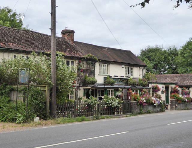
Image: © Stefan Czapski Taken: 30 Jun 2017
A curiosity here is the faded blue sign (to the left of the telegraph pole) carrying the words 'The Compasses'. So it seems that there were once two pubs here, side by side.
Images are licensed for reuse under creativecommons.org/licenses/by-sa/2.0
Image Location
Latitude
51.580174
Longitude
-0.670207