Moorhouse Road, Limpsfield Chart
Introduction
The photograph on this page of Moorhouse Road, Limpsfield Chart by Marathon as part of the Geograph project.
The Geograph project started in 2005 with the aim of publishing, organising and preserving representative images for every square kilometre of Great Britain, Ireland and the Isle of Man.

There are currently over 7.5m images from over 14,400 individuals and you can help contribute to the project by visiting https://www.geograph.org.uk
Moorhouse Road, Limpsfield Chart
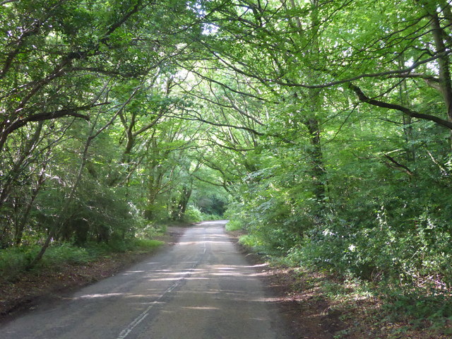
Image: © Marathon Taken: 1 Jul 2017
Limpsfield Chart is part of High Chart, a largely wooded National Trust site on the Greensand Ridge. Moorhouse Road cuts through the centre of the woods.
Images are licensed for reuse under creativecommons.org/licenses/by-sa/2.0
Image Location
Latitude
51.250867
Longitude
0.042481