OS Cut Benchmark, Keighley Road
Introduction
The photograph on this page of OS Cut Benchmark, Keighley Road by Stephen Armstrong as part of the Geograph project.
The Geograph project started in 2005 with the aim of publishing, organising and preserving representative images for every square kilometre of Great Britain, Ireland and the Isle of Man.

There are currently over 7.5m images from over 14,400 individuals and you can help contribute to the project by visiting https://www.geograph.org.uk
OS Cut Benchmark, Keighley Road
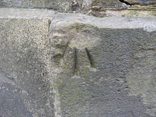
Image: © Stephen Armstrong Taken: 11 Oct 2015
This damaged mark is at the gated entrance to No 38 Keighley Road http://www.bench-marks.org.uk/bm28192
Images are licensed for reuse under creativecommons.org/licenses/by-sa/2.0
Image Location
Latitude
53.812413
Longitude
-1.768665