Slaughter Bridge House
Introduction
The photograph on this page of Slaughter Bridge House by Dan Gregory as part of the Geograph project.
The Geograph project started in 2005 with the aim of publishing, organising and preserving representative images for every square kilometre of Great Britain, Ireland and the Isle of Man.

There are currently over 7.5m images from over 14,400 individuals and you can help contribute to the project by visiting https://www.geograph.org.uk
Slaughter Bridge House
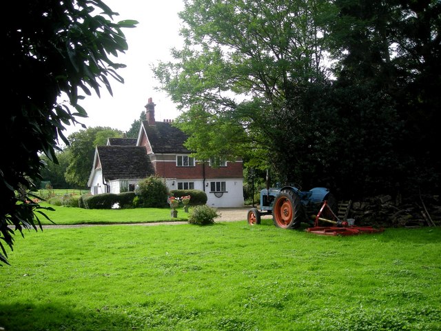
Image: © Dan Gregory Taken: 3 Sep 2007
Photographed from the footpath in the centre of this gridsquare, just north of the A281. Recent maps give the name as Barnbridge House, but a new cast iron plaque on the gate indicates that it has reverted to its pre-1914 name, after the nearby Slaughter Bridge.
Images are licensed for reuse under creativecommons.org/licenses/by-sa/2.0
Image Location
Latitude
51.088155
Longitude
-0.380797