Lane junction outside Kynnersley
Introduction
The photograph on this page of Lane junction outside Kynnersley by Richard Law as part of the Geograph project.
The Geograph project started in 2005 with the aim of publishing, organising and preserving representative images for every square kilometre of Great Britain, Ireland and the Isle of Man.

There are currently over 7.5m images from over 14,400 individuals and you can help contribute to the project by visiting https://www.geograph.org.uk
Lane junction outside Kynnersley
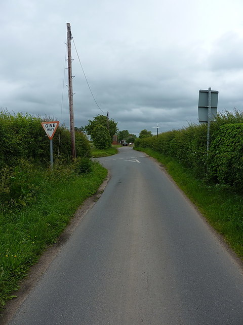
Image: © Richard Law Taken: 10 Jun 2017
The road we're standing on comes from Crudgington, whilst the junction leads to Rodway on the left, and Kynnersley on the right. And into some dark clouds; it rained 30 minutes later.
Images are licensed for reuse under creativecommons.org/licenses/by-sa/2.0
Image Location


Leaflet Map data © OpenStreetMap
Latitude
52.75038
Longitude
-2.497746