Vicarage Drive Chellaston
Introduction
The photograph on this page of Vicarage Drive Chellaston by Malcolm Neal as part of the Geograph project.
The Geograph project started in 2005 with the aim of publishing, organising and preserving representative images for every square kilometre of Great Britain, Ireland and the Isle of Man.

There are currently over 7.5m images from over 14,400 individuals and you can help contribute to the project by visiting https://www.geograph.org.uk
Vicarage Drive Chellaston
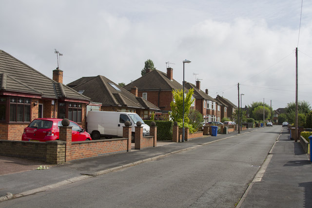
Image: © Malcolm Neal Taken: 30 Jun 2017
Chellaston is one of the older Derby suburbs but is now finding itself surrounded by new housing estates as Derby expands rapidly.
Images are licensed for reuse under creativecommons.org/licenses/by-sa/2.0
Image Location
Latitude
52.87389
Longitude
-1.439693