Houses by A4 at West Kennett
Introduction
The photograph on this page of Houses by A4 at West Kennett by David Smith as part of the Geograph project.
The Geograph project started in 2005 with the aim of publishing, organising and preserving representative images for every square kilometre of Great Britain, Ireland and the Isle of Man.

There are currently over 7.5m images from over 14,400 individuals and you can help contribute to the project by visiting https://www.geograph.org.uk
Houses by A4 at West Kennett
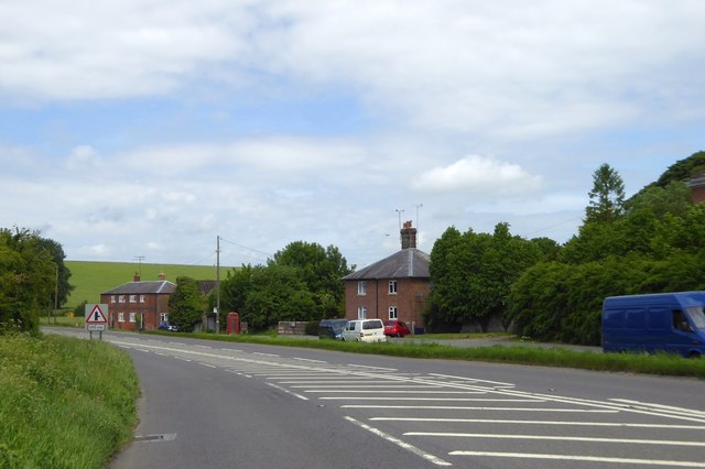
Image: © David Smith Taken: 1 Jun 2017
These houses front the former route of the A4, now passed with a gentler curve
Images are licensed for reuse under creativecommons.org/licenses/by-sa/2.0
Image Location


Leaflet Map data © OpenStreetMap
Latitude
51.414058
Longitude
-1.838905