Junction of Varteg Road and Gladstone Terrace, Varteg
Introduction
The photograph on this page of Junction of Varteg Road and Gladstone Terrace, Varteg by Jaggery as part of the Geograph project.
The Geograph project started in 2005 with the aim of publishing, organising and preserving representative images for every square kilometre of Great Britain, Ireland and the Isle of Man.

There are currently over 7.5m images from over 14,400 individuals and you can help contribute to the project by visiting https://www.geograph.org.uk
Junction of Varteg Road and Gladstone Terrace, Varteg
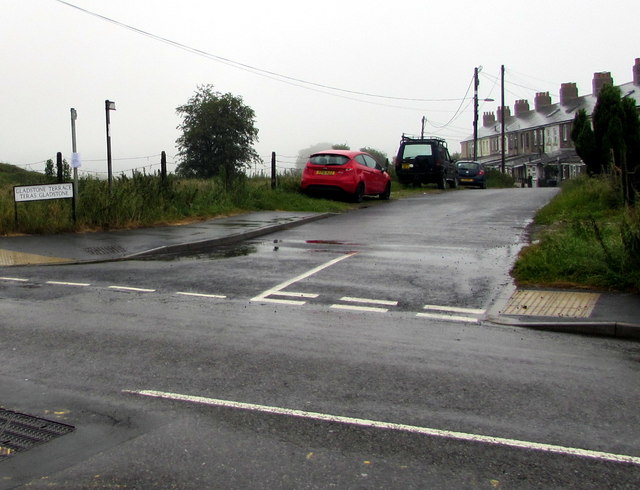
Image: © Jaggery Taken: 28 Jun 2017
Viewed across the B4246 Varteg Road looking along Gladstone Terrace towards this http://www.geograph.org.uk/photo/5443743 row of houses. The name sign on the left shows that Gladstone Terrace is Teras Gladstone in Welsh.
Images are licensed for reuse under creativecommons.org/licenses/by-sa/2.0
Image Location
Latitude
51.744248
Longitude
-3.067271