Farmland south-east of Llanfair Clydogau, Carmarthenshire
Introduction
The photograph on this page of Farmland south-east of Llanfair Clydogau, Carmarthenshire by Roger D Kidd as part of the Geograph project.
The Geograph project started in 2005 with the aim of publishing, organising and preserving representative images for every square kilometre of Great Britain, Ireland and the Isle of Man.

There are currently over 7.5m images from over 14,400 individuals and you can help contribute to the project by visiting https://www.geograph.org.uk
Farmland south-east of Llanfair Clydogau, Carmarthenshire
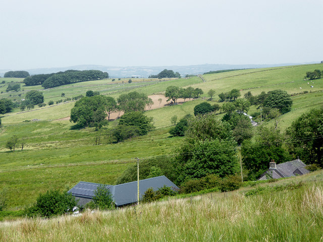
Image: © Roger D Kidd Taken: 21 Jun 2017
A telephoto assisted image looking north-west from near the cattlegrid on the road (Sarn Helen) by Esgair Fraith. The buildings are at Lluest-y-bwlch.
Images are licensed for reuse under creativecommons.org/licenses/by-sa/2.0
Image Location
Latitude
52.11485
Longitude
-3.979701