County Brook tumbling into the Leeds & Liverpool Canal
Introduction
The photograph on this page of County Brook tumbling into the Leeds & Liverpool Canal by Christine Johnstone as part of the Geograph project.
The Geograph project started in 2005 with the aim of publishing, organising and preserving representative images for every square kilometre of Great Britain, Ireland and the Isle of Man.

There are currently over 7.5m images from over 14,400 individuals and you can help contribute to the project by visiting https://www.geograph.org.uk
County Brook tumbling into the Leeds & Liverpool Canal
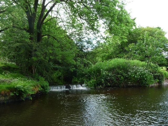
Image: © Christine Johnstone Taken: 8 Jun 2017
Before 1974, this formed part of the boundary between Lancashire and [the West Riding of] Yorkshire. It is still a civil parish boundary, but the county boundary between Lancashire and West Yorkshire was moved northwards, beyond Barnoldswick.
Images are licensed for reuse under creativecommons.org/licenses/by-sa/2.0
Image Location
Latitude
53.891155
Longitude
-2.172964