Bridleway diverted?
Introduction
The photograph on this page of Bridleway diverted? by John Myers as part of the Geograph project.
The Geograph project started in 2005 with the aim of publishing, organising and preserving representative images for every square kilometre of Great Britain, Ireland and the Isle of Man.

There are currently over 7.5m images from over 14,400 individuals and you can help contribute to the project by visiting https://www.geograph.org.uk
Bridleway diverted?
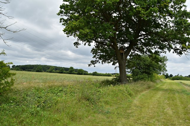
Image: © John Myers Taken: 25 Jun 2017
Kiln Lane emerges from its tree-hung tunnel to face a trackless expanse of wheat where the path is marked as continuing straight ahead. In the absence of further instructions, I followed the obvious field edge strip north and hard east again at the top of the field to enter Westhorpe at the expected point
Images are licensed for reuse under creativecommons.org/licenses/by-sa/2.0
Image Location
Latitude
52.286526
Longitude
0.980442