Wheat field west of Arnesby Road
Introduction
The photograph on this page of Wheat field west of Arnesby Road by Robin Webster as part of the Geograph project.
The Geograph project started in 2005 with the aim of publishing, organising and preserving representative images for every square kilometre of Great Britain, Ireland and the Isle of Man.

There are currently over 7.5m images from over 14,400 individuals and you can help contribute to the project by visiting https://www.geograph.org.uk
Wheat field west of Arnesby Road
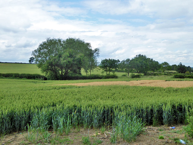
Image: © Robin Webster Taken: 24 Jun 2017
There is a patch of a much faster maturing cereal in the middle - either that or it has been killed off. The field on the other side of the road had a similar feature.
Images are licensed for reuse under creativecommons.org/licenses/by-sa/2.0
Image Location
Latitude
52.526904
Longitude
-1.059548