Houses along Frinton Road, B1033
Introduction
The photograph on this page of Houses along Frinton Road, B1033 by David Smith as part of the Geograph project.
The Geograph project started in 2005 with the aim of publishing, organising and preserving representative images for every square kilometre of Great Britain, Ireland and the Isle of Man.

There are currently over 7.5m images from over 14,400 individuals and you can help contribute to the project by visiting https://www.geograph.org.uk
Houses along Frinton Road, B1033
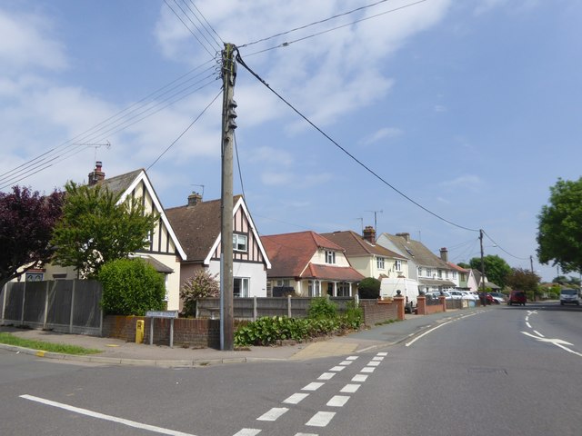
Image: © David Smith Taken: 31 May 2017
From the junction with Willow Avenue, one of the local roads named after tree species
Images are licensed for reuse under creativecommons.org/licenses/by-sa/2.0
Image Location
Latitude
51.841286
Longitude
1.23116