Paiges Lane electricity substation, Barnstaple
Introduction
The photograph on this page of Paiges Lane electricity substation, Barnstaple by Jaggery as part of the Geograph project.
The Geograph project started in 2005 with the aim of publishing, organising and preserving representative images for every square kilometre of Great Britain, Ireland and the Isle of Man.

There are currently over 7.5m images from over 14,400 individuals and you can help contribute to the project by visiting https://www.geograph.org.uk
Paiges Lane electricity substation, Barnstaple
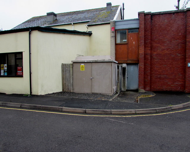
Image: © Jaggery Taken: 24 Jun 2017
The grey cabinet is a Western Power Distribution electricity substation. Its identifier is HOLLAND STREET 2290. Holland Street is about 50 metres away. The edge of Tarka Clinic http://www.geograph.org.uk/photo/5440791 is on the left.
Images are licensed for reuse under creativecommons.org/licenses/by-sa/2.0
Image Location
Latitude
51.07993
Longitude
-4.061112