Drumlin on the north side of Whitehill Road
Introduction
The photograph on this page of Drumlin on the north side of Whitehill Road by Eric Jones as part of the Geograph project.
The Geograph project started in 2005 with the aim of publishing, organising and preserving representative images for every square kilometre of Great Britain, Ireland and the Isle of Man.

There are currently over 7.5m images from over 14,400 individuals and you can help contribute to the project by visiting https://www.geograph.org.uk
Drumlin on the north side of Whitehill Road
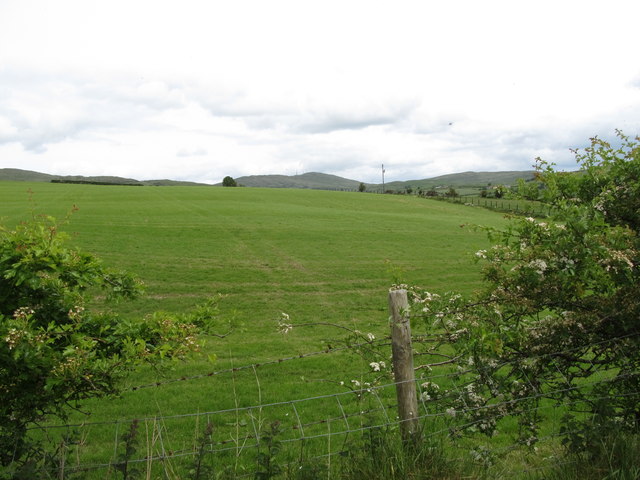
Image: © Eric Jones Taken: 7 Jun 2017
The summit of Slieve Croob can be seen in the background -- easily identifiable from its forest of telecommunications masts.
Images are licensed for reuse under creativecommons.org/licenses/by-sa/2.0
Image Location
Latitude
54.312634
Longitude
-6.013394