Benraw Mountain from the Legananny Road
Introduction
The photograph on this page of Benraw Mountain from the Legananny Road by Eric Jones as part of the Geograph project.
The Geograph project started in 2005 with the aim of publishing, organising and preserving representative images for every square kilometre of Great Britain, Ireland and the Isle of Man.

There are currently over 7.5m images from over 14,400 individuals and you can help contribute to the project by visiting https://www.geograph.org.uk
Benraw Mountain from the Legananny Road
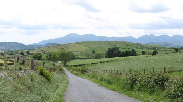
Image: © Eric Jones Taken: 7 Jun 2017
Benraw Mountain is the hill capped by a wind turbine. Much of the 'Mountain' is in improved grassland. The mountain separates the Whitehill and Benraw roads. The High Mournes form the background.
Images are licensed for reuse under creativecommons.org/licenses/by-sa/2.0
Image Location
Latitude
54.309686
Longitude
-6.014458