Ferguson Marine shipyard development
Introduction
The photograph on this page of Ferguson Marine shipyard development by Thomas Nugent as part of the Geograph project.
The Geograph project started in 2005 with the aim of publishing, organising and preserving representative images for every square kilometre of Great Britain, Ireland and the Isle of Man.

There are currently over 7.5m images from over 14,400 individuals and you can help contribute to the project by visiting https://www.geograph.org.uk
Ferguson Marine shipyard development
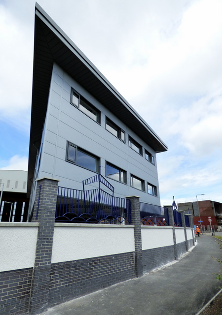
Image: © Thomas Nugent Taken: 19 Jun 2017
The new office building is nearing completion, looking like the bow of a ship from this angle. Note also the new ship themed railings Image
Images are licensed for reuse under creativecommons.org/licenses/by-sa/2.0
Image Location


Leaflet Map data © OpenStreetMap
Latitude
55.933992
Longitude
-4.680251