College House Junior School and Playing field
Introduction
The photograph on this page of College House Junior School and Playing field by Peter Shone as part of the Geograph project.
The Geograph project started in 2005 with the aim of publishing, organising and preserving representative images for every square kilometre of Great Britain, Ireland and the Isle of Man.

There are currently over 7.5m images from over 14,400 individuals and you can help contribute to the project by visiting https://www.geograph.org.uk
College House Junior School and Playing field
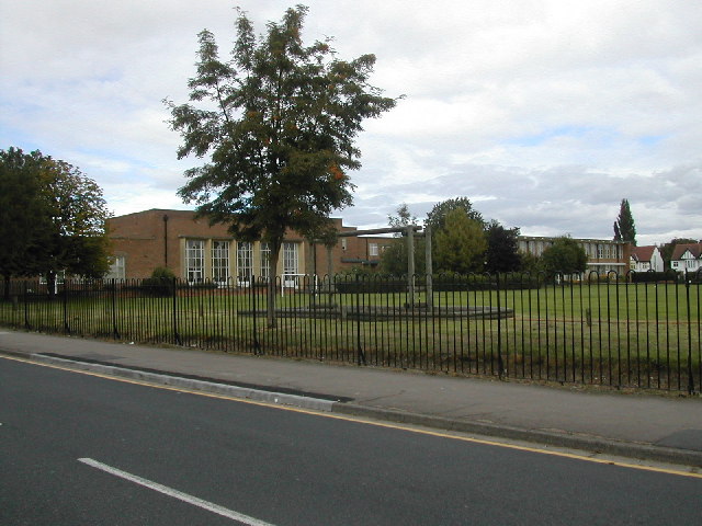
Image: © Peter Shone Taken: 17 Sep 2005
School playing field with climbing frame in foreground. This playing field may be changed due to a proposed tram line cutting across this corner.
Images are licensed for reuse under creativecommons.org/licenses/by-sa/2.0
Image Location
Latitude
52.920253
Longitude
-1.2273