The Boulevard, Oatlands, Glasgow
Introduction
The photograph on this page of The Boulevard, Oatlands, Glasgow by RON SMITH as part of the Geograph project.
The Geograph project started in 2005 with the aim of publishing, organising and preserving representative images for every square kilometre of Great Britain, Ireland and the Isle of Man.

There are currently over 7.5m images from over 14,400 individuals and you can help contribute to the project by visiting https://www.geograph.org.uk
The Boulevard, Oatlands, Glasgow
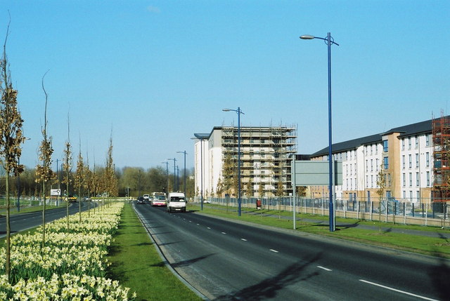
Image: © RON SMITH Taken: 22 Mar 2007
The Boulevard was opened to traffic in November 2006, part of a new traffic by-pass for the Oatlands area, currently the subject of a major urban regeneration project led by Glasgow City Council (lead developer - Gladedale). Nearly 1,300 houses are being built and Richmond Park is being upgraded as part of the scheme.
Images are licensed for reuse under creativecommons.org/licenses/by-sa/2.0
Image Location
Latitude
55.842102
Longitude
-4.241509