Loop road to Arisaig
Introduction
The photograph on this page of Loop road to Arisaig by Jim Barton as part of the Geograph project.
The Geograph project started in 2005 with the aim of publishing, organising and preserving representative images for every square kilometre of Great Britain, Ireland and the Isle of Man.

There are currently over 7.5m images from over 14,400 individuals and you can help contribute to the project by visiting https://www.geograph.org.uk
Loop road to Arisaig
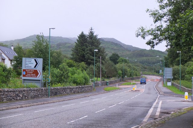
Image: © Jim Barton Taken: 18 Jun 2017
The east end of the loop of the B8008 to Arisaig village from the main A830. This used to be the main road until the A830 was upgraded from a tortuous road, single-track in places, to the modern route to Mallaig.
Images are licensed for reuse under creativecommons.org/licenses/by-sa/2.0
Image Location
Latitude
56.91128
Longitude
-5.839276