Meadow Road bridge and Beeston station
Introduction
The photograph on this page of Meadow Road bridge and Beeston station by Peter Shone as part of the Geograph project.
The Geograph project started in 2005 with the aim of publishing, organising and preserving representative images for every square kilometre of Great Britain, Ireland and the Isle of Man.

There are currently over 7.5m images from over 14,400 individuals and you can help contribute to the project by visiting https://www.geograph.org.uk
Meadow Road bridge and Beeston station
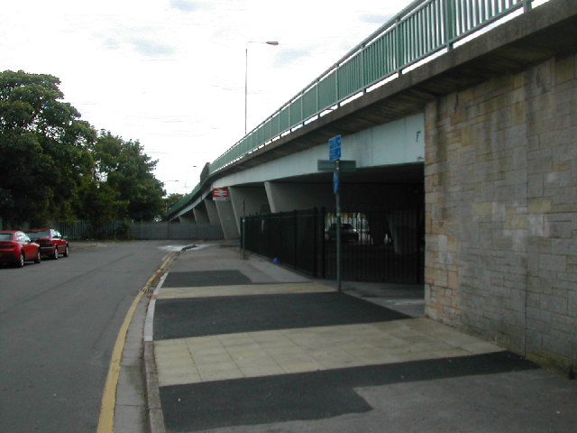
Image: © Peter Shone Taken: 17 Sep 2005
Meadow Road bridge taken from Station Road, with Beeston station sign. Three forms of transport all in one place, the underpass at the end of the wall on the right is Sustrans national route 6.
Images are licensed for reuse under creativecommons.org/licenses/by-sa/2.0
Image Location
Latitude
52.921112
Longitude
-1.207503