Shiprods Farm
Introduction
The photograph on this page of Shiprods Farm by Simon Carey as part of the Geograph project.
The Geograph project started in 2005 with the aim of publishing, organising and preserving representative images for every square kilometre of Great Britain, Ireland and the Isle of Man.

There are currently over 7.5m images from over 14,400 individuals and you can help contribute to the project by visiting https://www.geograph.org.uk
Shiprods Farm
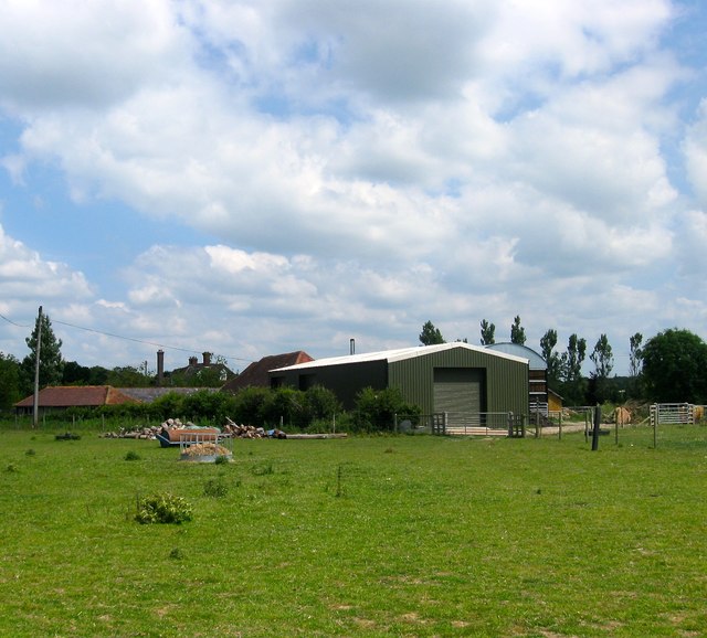
Image: © Simon Carey Taken: 18 Jun 2017
There has been a farm here since at least the 12th century and the current farmhouse, whose chimney can be seen to the rear, dates back to the 16th. The name derives from an area of land that was cleared for sheep farming.
Images are licensed for reuse under creativecommons.org/licenses/by-sa/2.0
Image Location
Latitude
50.954591
Longitude
-0.266697