North Field/Barn Field
Introduction
The photograph on this page of North Field/Barn Field by Simon Carey as part of the Geograph project.
The Geograph project started in 2005 with the aim of publishing, organising and preserving representative images for every square kilometre of Great Britain, Ireland and the Isle of Man.

There are currently over 7.5m images from over 14,400 individuals and you can help contribute to the project by visiting https://www.geograph.org.uk
North Field/Barn Field
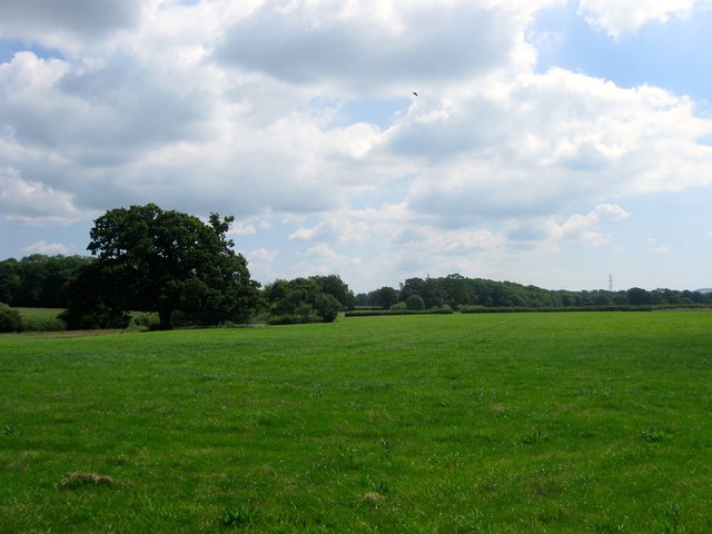
Image: © Simon Carey Taken: 18 Jun 2017
The name of the fields according to Henfield's 1844 tithe map that have been merged to form a larger unit. Both are located to the north of the complex of buildings surrounding Chestham Park house and south of Image with North Field located on the western side with Image to the south west and Image to the north west. Barn Field is located on the eastern side.
Images are licensed for reuse under creativecommons.org/licenses/by-sa/2.0
Image Location
Latitude
50.949187
Longitude
-0.266186