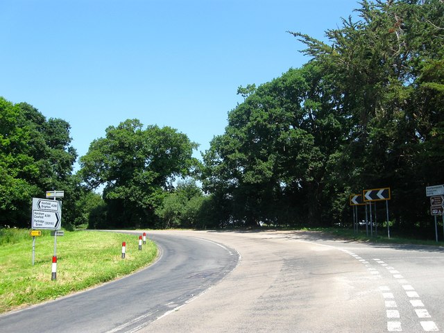
Crouch Hill Gate
Introduction
The photograph on this page of Crouch Hill Gate by Simon Carey as part of the Geograph project.
The Geograph project started in 2005 with the aim of publishing, organising and preserving representative images for every square kilometre of Great Britain, Ireland and the Isle of Man.
There are currently over 7.5m images from over 14,400 individuals and you can help contribute to the project by visiting https://www.geograph.org.uk

Image: © Simon Carey Taken: 18 Jun 2017
The junction of the A281 and B2116 is still called Crouch Hill Gate on modern maps and was once the site of a tollhouse roughly located where the current gravel parking area is, see http://www.henfieldthenandnow.net/uploads/2/6/8/6/26865739/1041149_orig.jpg for a view taken around 1912. The tollhouse was built in the late 18th century as part of the Henfield Turnpike Trust which operated a stretch of an old London-Brighton coaching route between Henfield and Horsham. It remained in use as a cottage when the road was disturnpiked in the 1880s but was pulled down around 1920 since when the road has been widened.

