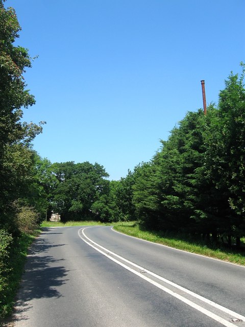
London Road
Introduction
The photograph on this page of London Road by Simon Carey as part of the Geograph project.
The Geograph project started in 2005 with the aim of publishing, organising and preserving representative images for every square kilometre of Great Britain, Ireland and the Isle of Man.
There are currently over 7.5m images from over 14,400 individuals and you can help contribute to the project by visiting https://www.geograph.org.uk

Image: © Simon Carey Taken: 18 Jun 2017
The A281 just beyond Image prior to it turning northwards again. The road is quite old having once been an ancient transhumance route connecting Upper Beeding to woodland pastures it owned around modern day Lower Beeding. From the 1770s it was part of the first major London-Brighton turnpike before it was replaced by quicker more direct routes. Today it is the modern A281 linking Horsham to the A23 at Pyecombe. An old metal flue can be seen above the trees to the right possibly belonging to Chestham Park.

