Lower Widhill Farm, Blunsdon, Swindon
Introduction
The photograph on this page of Lower Widhill Farm, Blunsdon, Swindon by Brian Robert Marshall as part of the Geograph project.
The Geograph project started in 2005 with the aim of publishing, organising and preserving representative images for every square kilometre of Great Britain, Ireland and the Isle of Man.

There are currently over 7.5m images from over 14,400 individuals and you can help contribute to the project by visiting https://www.geograph.org.uk
Lower Widhill Farm, Blunsdon, Swindon
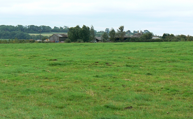
Image: © Brian Robert Marshall Taken: 2 Sep 2007
The farm is visible in the centre of this south-facing image. It was taken from over the fence marking the boundary of the farm with the A419 dual carriageway behind the viewpoint.
Images are licensed for reuse under creativecommons.org/licenses/by-sa/2.0
Image Location


Leaflet Map data © OpenStreetMap
Latitude
51.622448
Longitude
-1.816791