Grove Farm, Blunsdon, Swindon
Introduction
The photograph on this page of Grove Farm, Blunsdon, Swindon by Brian Robert Marshall as part of the Geograph project.
The Geograph project started in 2005 with the aim of publishing, organising and preserving representative images for every square kilometre of Great Britain, Ireland and the Isle of Man.

There are currently over 7.5m images from over 14,400 individuals and you can help contribute to the project by visiting https://www.geograph.org.uk
Grove Farm, Blunsdon, Swindon
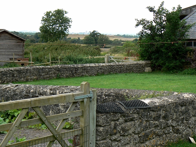
Image: © Brian Robert Marshall Taken: 2 Sep 2007
This is a view across the garden of Grove Farm to the north west. Visible on the skyline is Cricklade parish church at SU099935 4.5 kilometres away. This image was obtained with the kind permission of the occupiers of the farm.
Images are licensed for reuse under creativecommons.org/licenses/by-sa/2.0
Image Location
Latitude
51.610398
Longitude
-1.816117