Nottingham Canal: towards the Trent
Introduction
The photograph on this page of Nottingham Canal: towards the Trent by John Sutton as part of the Geograph project.
The Geograph project started in 2005 with the aim of publishing, organising and preserving representative images for every square kilometre of Great Britain, Ireland and the Isle of Man.

There are currently over 7.5m images from over 14,400 individuals and you can help contribute to the project by visiting https://www.geograph.org.uk
Nottingham Canal: towards the Trent
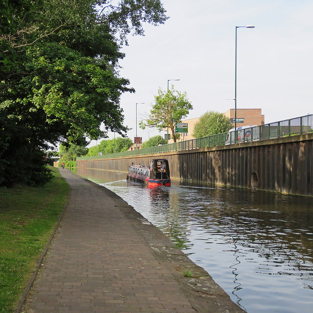
Image: © John Sutton Taken: 21 Jun 2017
Just before eight o'clock on a summer morning a narrowboat was making its way from overnight moorings towards Meadow Lane Lock and the River Trent. In the background, on the other side of London Road, is Nottingham's new fire station.
Images are licensed for reuse under creativecommons.org/licenses/by-sa/2.0
Image Location
Latitude
52.945363
Longitude
-1.139942