St John's Road
Introduction
The photograph on this page of St John's Road by Simon Carey as part of the Geograph project.
The Geograph project started in 2005 with the aim of publishing, organising and preserving representative images for every square kilometre of Great Britain, Ireland and the Isle of Man.

There are currently over 7.5m images from over 14,400 individuals and you can help contribute to the project by visiting https://www.geograph.org.uk
St John's Road
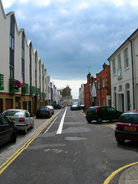
Image: © Simon Carey Taken: 2 Sep 2007
The road marks the boundary between two different developments in Hove, Adelaide Crescent/Palmeira Square to the east and the Avenues to the west. Originally a service road for the former now a back road with some businesses and new developments.
Images are licensed for reuse under creativecommons.org/licenses/by-sa/2.0
Image Location


Leaflet Map data © OpenStreetMap
Latitude
50.825871
Longitude
-0.164975