Peppering High Barn
Introduction
The photograph on this page of Peppering High Barn by Colin Smith as part of the Geograph project.
The Geograph project started in 2005 with the aim of publishing, organising and preserving representative images for every square kilometre of Great Britain, Ireland and the Isle of Man.

There are currently over 7.5m images from over 14,400 individuals and you can help contribute to the project by visiting https://www.geograph.org.uk
Peppering High Barn
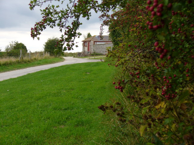
Image: © Colin Smith Taken: 1 Sep 2007
South Downs landscape of rolling grassland and hard chalky flint paths. The barn has a high flint wall and is itself now a tasteful residential conversion.
Images are licensed for reuse under creativecommons.org/licenses/by-sa/2.0
Image Location


Leaflet Map data © OpenStreetMap
Latitude
50.87985
Longitude
-0.521081