Lane at Highertown
Introduction
The photograph on this page of Lane at Highertown by Derek Harper as part of the Geograph project.
The Geograph project started in 2005 with the aim of publishing, organising and preserving representative images for every square kilometre of Great Britain, Ireland and the Isle of Man.

There are currently over 7.5m images from over 14,400 individuals and you can help contribute to the project by visiting https://www.geograph.org.uk
Lane at Highertown
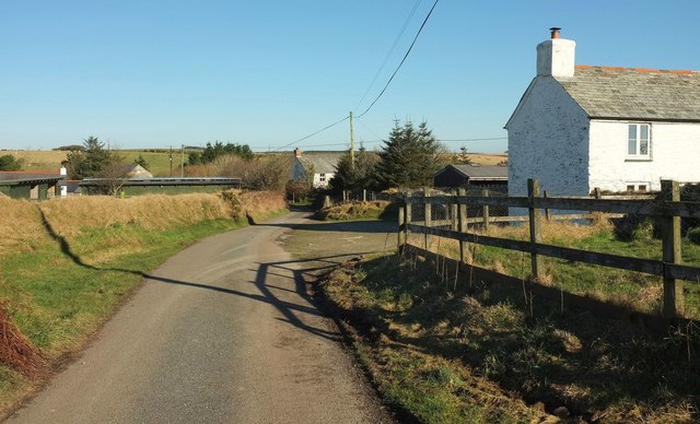
Image: © Derek Harper Taken: 25 Jan 2017
A hamlet on the edge of Bodmin Moor. Both the Moorland Walk and NCN3 follow this stretch of lane.
Images are licensed for reuse under creativecommons.org/licenses/by-sa/2.0
Image Location
Latitude
50.599343
Longitude
-4.658443