Stamford Street
Introduction
The photograph on this page of Stamford Street by Gerald England as part of the Geograph project.
The Geograph project started in 2005 with the aim of publishing, organising and preserving representative images for every square kilometre of Great Britain, Ireland and the Isle of Man.

There are currently over 7.5m images from over 14,400 individuals and you can help contribute to the project by visiting https://www.geograph.org.uk
Stamford Street
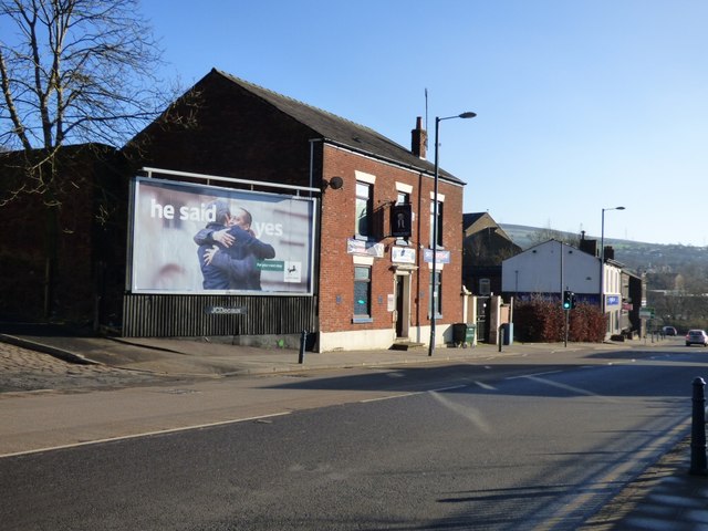
Image: © Gerald England Taken: 25 Jan 2017
The A6018 which bypasses the town centre. On the left is the Cow'd Feet Club, otherwise known as Lancashire Ward No 2 Conservative Club. Image
Images are licensed for reuse under creativecommons.org/licenses/by-sa/2.0
Image Location
Latitude
53.484554
Longitude
-2.056623